Доставка
Наръчник за пазаруване


Не ви допада? Няма проблеми! При нас имате възможност за връщане в рамките на 30 дни
 Подаръчен ваучер
на всякаква стойност
Няма да сбъркате с подаръчен ваучер. Получателят може да избере нещо от нашия асортимент с подаръчен ваучер.
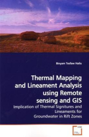
Thermal Mapping and Lineament Analysis using Remote sensing and GIS
 Английски език
 132 b
132 b
30 дни за връщане на стоката
Може би ще Ви заинтересува


Remote sensing and GIS techniques are the basic tools for different applications regarding resource management. The satellite images are now recorded very rapidly for mapping land surface temperature as well as extraction of lineaments. In this work, determination of land surface temperature has been carried out using remote sensing in areas of Lakes Abijata and Langano region in the central part of the Main Ethiopian Rift. Lineament analysis based on visual basic for application in GIS for ground water application is also explored, applied and validated on data collected in the area. The thermal mapping that has been carried out using the image of LANDSAT ETM+ shows a range of 287 to 311 degree Kelvin. The eastern high land of the central main Ethiopian rift also reveals a high density and a number of intersections in lineaments, which is determined using the application of VBA (Visual basic for Application) macros in ArcGIS software. These lineament density maps with the chemistry of groundwater and orientation maps tell us where the ground water flows and where to construct productive wells.
Информация за книгата
 Английски език


 Контакт
 Как се пазарува?


